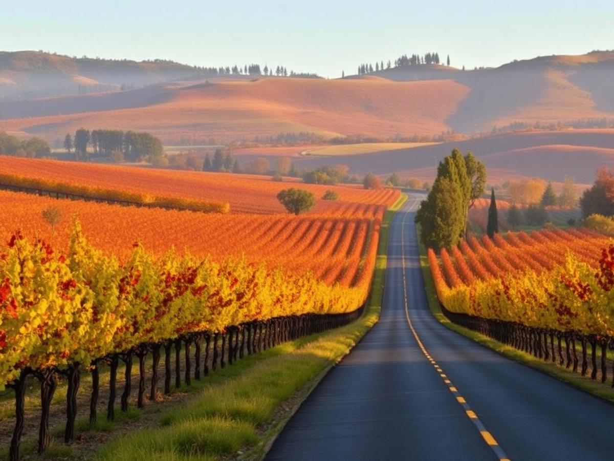
Road Guide · Four Routes
The Best Scenic Drives in Napa Valley
Vineyard roads, mountain turns and a quieter way to see wine country. Four drives with checked distances and real places to pause.
These are drives to take slowly, not a winery checklist. The east-side Silverado Trail is the easy valley-floor option; the mountain roads trade speed for bends and views. Pair the drive with a walk from our Napa Valley outdoors guide, or use the seasonal guide to choose between spring greens and fall vines.
Distances below describe the specified route or sourced segment, not a round trip from your hotel. Only the Silverado Trail has a published uninterrupted driving-time estimate here. For the other roads, use live directions on travel day: winding grades, appointments, weather and traffic make a fixed promise misleading. If you plan to taste, designate a driver; many estates require reservations.
01 / Valley floor
Silverado Trail: Napa to Calistoga
Enter the Silverado Trail near downtown Napa and follow it north on the east side of the valley to Calistoga. It parallels Highway 29, with vineyards and the Vaca foothills in view. The 29-mile figure is the road's end-to-end length, not a loop; turn back via Highway 29 if you want a different view on the return.
Stops along the way: The historic Stag's Leap Wine Cellars recalls the Judgment of Paris; near Rutherford, detour toward Lake Hennessey for a landscape break; finish in Calistoga for its walkable Lincoln Avenue and hot springs. Winery stops require advance arrangements, not a spontaneous roadside pull-off.
02 / Western foothills
Calistoga to Spring Mountain
Visit Napa Valley's 22-mile itinerary starts around Calistoga, visits the Petrified Forest west of town, then explores Spring Mountain above St. Helena. This is a mountain outing, not a straight 22-mile highway run. Follow the publisher's mapped itinerary for precise turns; check current road conditions first.
Stops along the way: Tank Garage Winery in Calistoga; the Petrified Forest's ancient fossilized redwoods; and Barnett Vineyards in the Spring Mountain District. If you want more context for the hillside estates, the St. Helena town guide also covers Spring Mountain wineries. The winery visits are by reservation; the forest has its own visitor rules.
03 / Eastern climb
Silverado Trail & Howell Mountain Road
Unlike the end-to-end Silverado drive above, this is Visit Napa Valley's longer 38-mile outing combining the eastern valley road with the climb toward Howell Mountain. Start on the Silverado Trail and use the publisher's mapped itinerary for the turnoffs; do not assume the entire 38 miles are on the Trail itself.
Stops along the way: Stags' Leap Winery on the east side of the valley, Moore Creek Park for a walk near Lake Hennessey, and a pause in St. Helena on your return. The outdoors guide has more trail options if the lakeside stop becomes the main event.
04 / Backcountry
Highway 128: Sage Canyon Road
This is the eastbound Highway 128 from its meeting with Silverado Trail, through Sage Canyon toward Lake Berryessa — not the separate stretch west of Calistoga toward Sonoma. Visit Napa Valley documents about 4.5 miles from Conn Creek Winery to the Chappellet turnoff. No verified full-route mileage is published for a single Napa-only endpoint here, so that number is a segment, not a promised round-trip distance.
Stops along the way: Conn Creek Winery at the Silverado Trail junction; the Chappellet turnoff on Pritchard Hill, overlooking Lake Hennessey; and, if road conditions allow, continue toward Lake Berryessa. Explore more non-winery landscape in our outdoors guide. Never stop in the traffic lane for a photo; use designated public pullouts only.
Get Your Bearings
This overview shows the valley and surrounding roads, not a turn-by-turn trace of all four itineraries. Silverado Trail follows the east valley floor; Spring Mountain rises west of St. Helena; Howell Mountain and Sage Canyon head east. Open the source maps above for exact turns.
Map © OpenStreetMap contributors. For closures, check Napa County road updates and Caltrans road conditions before leaving.
Scenic Drive Questions
Which Napa Valley road has the longest continuous vineyard views?
The Silverado Trail runs about 29 miles along the east side of the valley from Napa toward Calistoga. It passes vineyards and eastern foothills for much of its length; the mountain and backcountry routes offer a different, more wooded landscape.
Is Spring Mountain Road suitable for a relaxed first-time drive?
It is a narrow, winding mountain road rather than a flat valley cruise. Allow extra time, drive in daylight, and check current road conditions before setting out. For an easier introduction, start with the Silverado Trail.
Does Highway 128 mean the road to Lake Berryessa or the road toward Sonoma?
Both: State Route 128 has separate stretches on either side of the valley. This guide covers the eastern Sage Canyon Road stretch from Silverado Trail toward Lake Hennessey and Lake Berryessa, not the westbound road from Calistoga toward Sonoma.
Can you stop at wineries without a tasting reservation on these drives?
Do not count on it. Many estate wineries on mountain and backcountry roads require advance appointments, and their gates are not public viewpoints. Treat the drive as the main outing and check each winery's current visiting policy before making a stop.
Where should you check Napa County mountain-road conditions before driving?
Check Napa County's Roads Update for local roads and Caltrans QuickMap for state highways on the day of travel. Winter slides, construction and wildfire activity can change access, especially on Highway 128 and mountain roads.
Related Guides
Continue Exploring Napa Valley
Dive deeper into planning with these curated guides.
How to do a Napa Valley day trip from San Francisco
Driving times, ferry + train options, and guided day tours from $189
How to visit Napa Valley on a budget
Tasting fees under $30, cheap hotels, and free winery visits
Napa Valley events and wine festivals by month
Harvest events, seasonal festivals, and annual celebrations
Napa Valley travel tips for first-time visitors
When to go, how many wineries per day, and getting around
Napa Valley first-timer's guide
What to expect, which town to base in, and common mistakes to avoid
Plan a Napa Valley trip: flights, cars and hotels
Step-by-step trip builder with airport, rental car and lodging picks