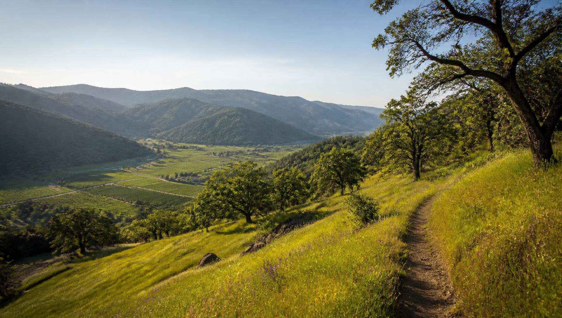
Reference Guide
Napa Valley Outdoors: Hiking, Waterfalls & Fishing Beyond the Wineries
Redwood canyons, a genuine waterfall, a 4,343-foot summit, and a tidal river full of striped bass — all inside Napa County, and almost all of it free or under $10.
Napa County is about 789 square miles, and only a thin ribbon of it is planted to vines. The rest is oak savanna, volcanic ridgeline, redwood canyon, and reservoir — public land that most visitors drive straight past. This page is a plain reference to the county's best hiking, waterfall, forest, and fishing spots, with distances, difficulty, dog rules, and a link to each official source. No tours to book and nothing to reserve: just where to go and what to expect when you get there.
Choose Your Vibe
What Kind of Day Outside Are You After?
Jump straight to the right shortlist — from stroller-friendly riverfront paths to a full-day summit push.
Easy & Family-Friendly
Flat, short, mostly paved — city parks and the river trail.
See easy hikesWaterfall Hikes
Linda Falls and seasonal creek cascades after winter rain.
See waterfall hikesSerious Climbs
Mt. St. Helena, Table Rock, and the Lake Marie loop.
See serious climbsFishing & Lakes
Napa River stripers and sturgeon, plus Lake Hennessey.
See fishing spotsBest Easy Hikes
All three of these are inside the city of Napa, free, and short enough to fit around tasting appointments — which makes them the realistic choice for families, jet-lagged first mornings, and anyone staying in downtown Napa without a car.
Alston Park
Northwest Napa
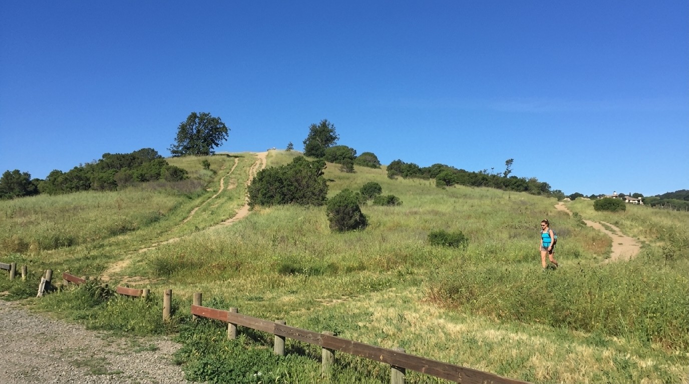
157 acres of rolling grassland and old orchard on the edge of town, with wide gravel and dirt paths climbing to a knoll view over the valley floor. The Canine Commons off-leash area makes it the most dog-centric park in Napa, and the whole place is walkable in under an hour.
Visit Site — cityofnapa.org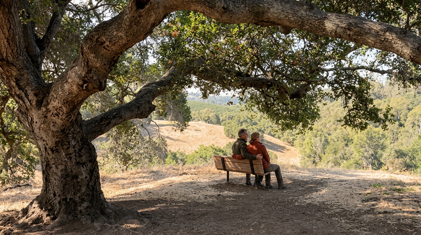
Westwood Hills Park
West Napa
A 110-acre oak-woodland park minutes from downtown, with shaded switchbacks up to benches and ridge viewpoints over the city. Short enough for a morning walk before tasting appointments, and the tree cover makes it one of the better warm-weather choices.
Visit Site — cityofnapa.org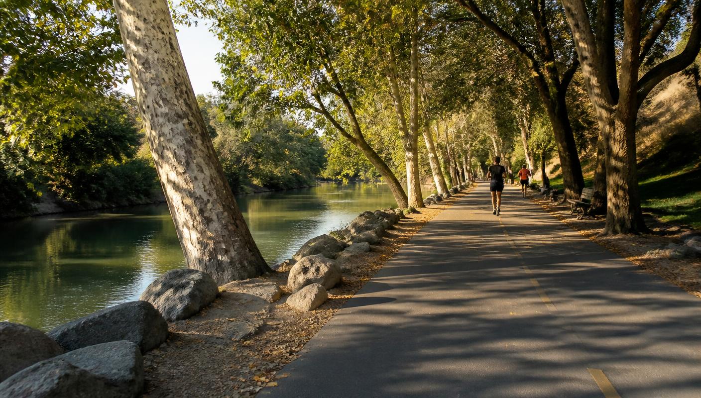
Napa River Trail
Downtown Napa & Kennedy Park
Napa's flat paved path along the riverfront, connecting downtown, Oxbow, and Kennedy Park in linked segments. Stroller- and wheelchair-friendly, good for a run, and the easiest way to see the same waterfront covered in our downtown Napa guide on foot.
Visit Site — napaoutdoors.orgWaterfall Hikes
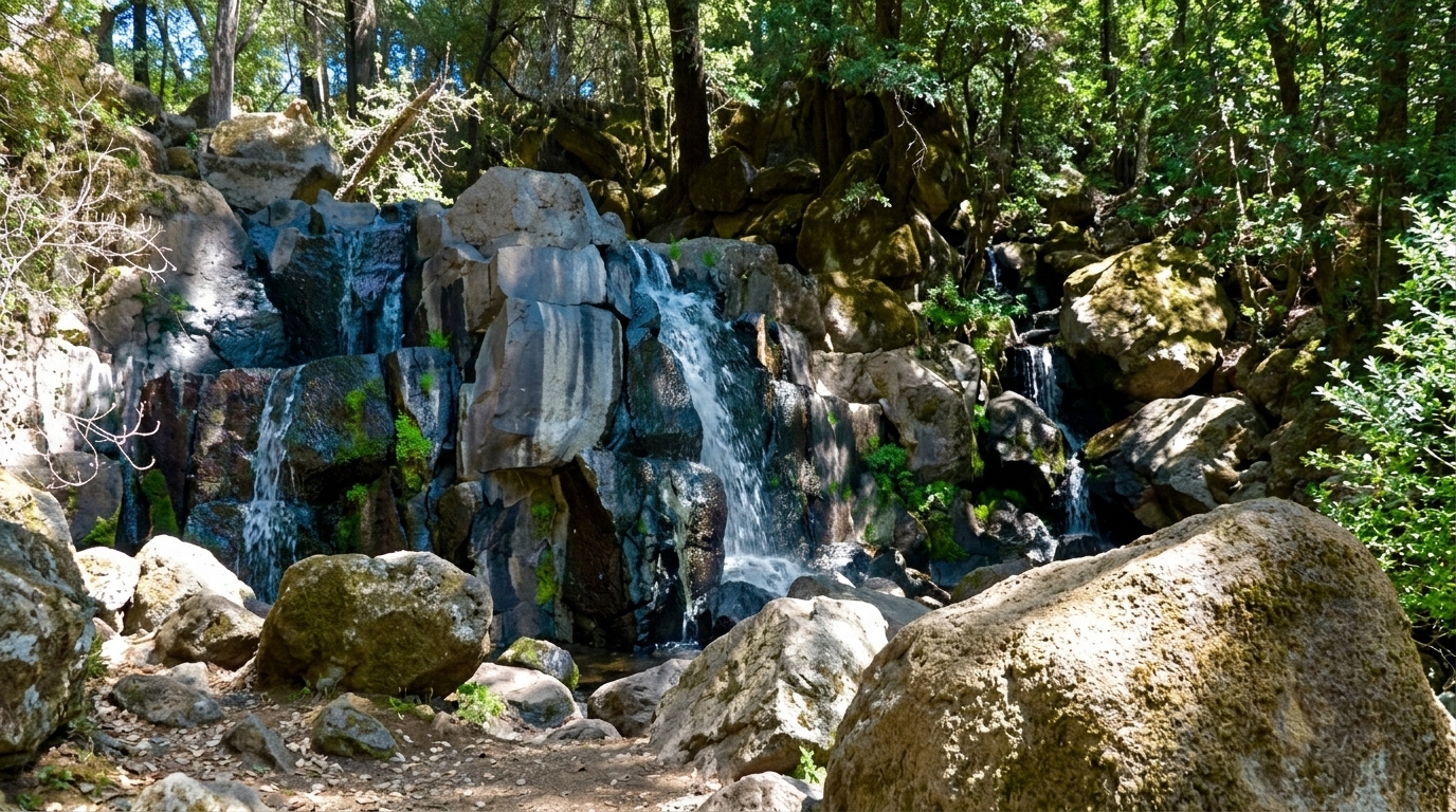
Napa's waterfalls are entirely rain-fed and entirely seasonal. Flow is strongest a few days after winter and early-spring storms — roughly December through April — and by late summer most of these creeks are dry rock. If a waterfall is the point of your trip, plan it against the wet-season months in our best-time-to-visit guide rather than the harvest calendar.
Linda Falls Preserve
Angwin / Howell Mountain
The valley's signature waterfall hike: a shaded half-mile walk down through Douglas fir and bay laurel to a multi-tiered cascade on Conn Creek. Protected by the Land Trust of Napa County, with limited roadside parking — go early, go after rain, and check the Land Trust's current access notes before driving up.
Visit Site — napalandtrust.org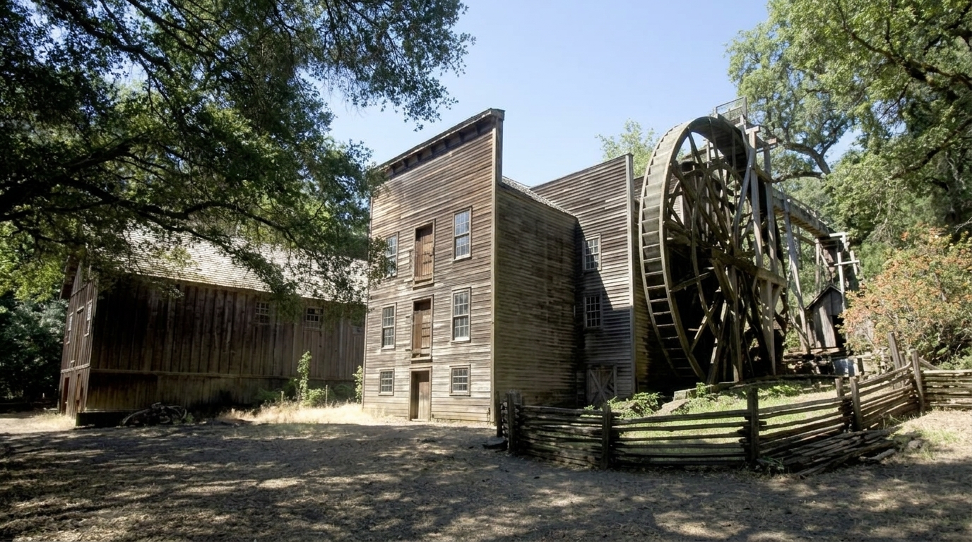
Bale Grist Mill Trail
Between St. Helena & Calistoga
The historic-mill trail links the 1846 water-powered grist mill and its 36-foot wheel to Bothe-Napa Valley State Park through mixed forest, crossing seasonal creek cascades along the way. Doubles as the valley's best history-plus-hiking combination.
Visit Site — parks.ca.govRedwood & Forest Trails
Two genuinely shaded options, and the answer to "where do we hike when it's 95°F on the valley floor?" Both run 10–15°F cooler than Highway 29 on a summer afternoon.
Bothe-Napa Valley State Park — Redwood & Coyote Peak Trails
Calistoga
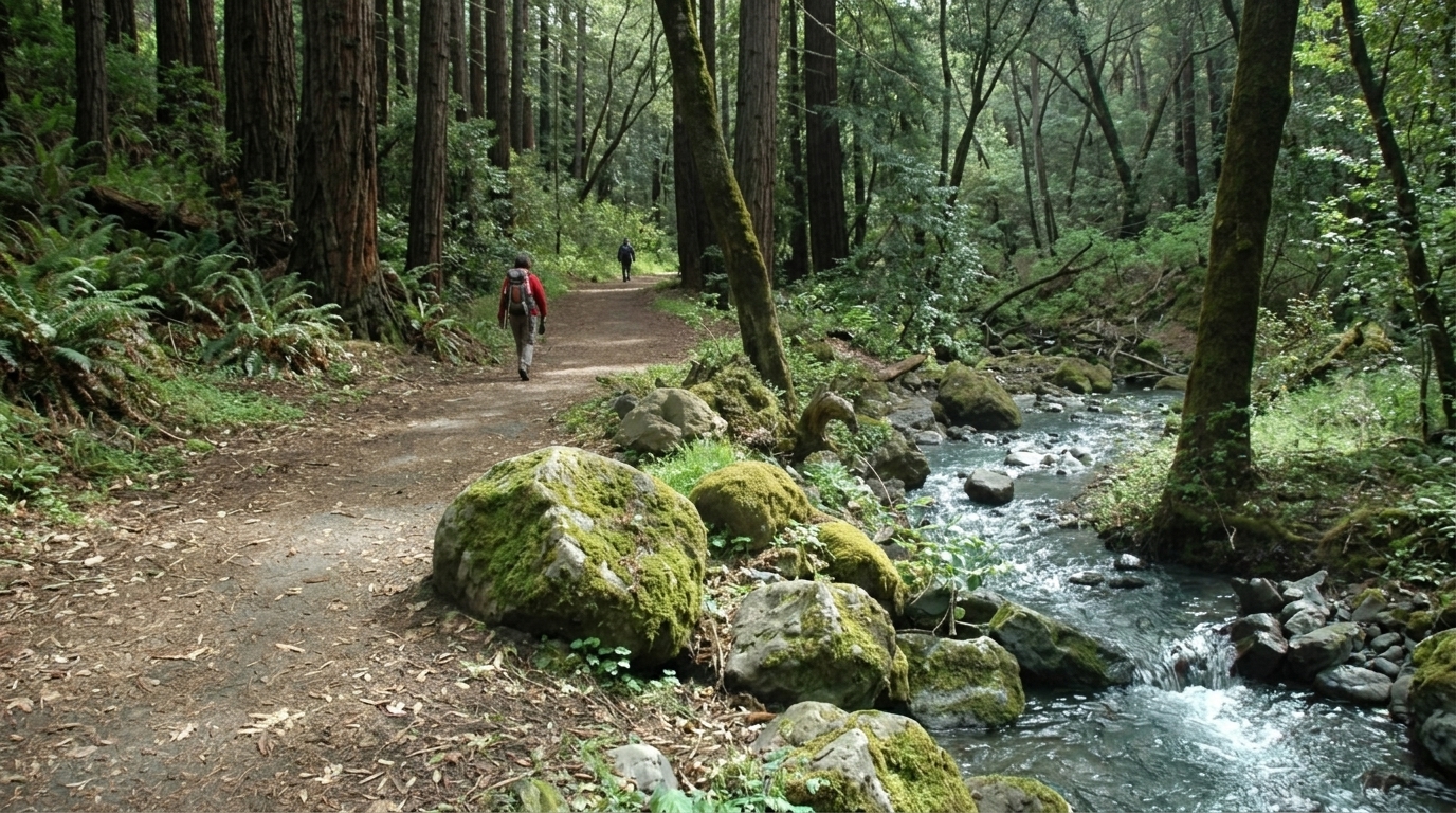
The northernmost coast redwoods in this part of California, along Ritchey Creek in a cool, fern-lined canyon. The Redwood Trail is flat and shaded; linking it with Coyote Peak adds a steep 1,170-foot climb to a valley overlook. Day-use parking is about $10 per car.
Visit Site — parks.ca.gov
Las Posadas State Forest
Angwin / Howell Mountain
A quiet demonstration forest of tall Douglas fir and ponderosa pine at 1,800 feet, shared with mountain bikers and equestrians. Almost never crowded, noticeably cooler than the valley floor, and free — the local pick for a shaded summer walk.
Visit Site — napaoutdoors.org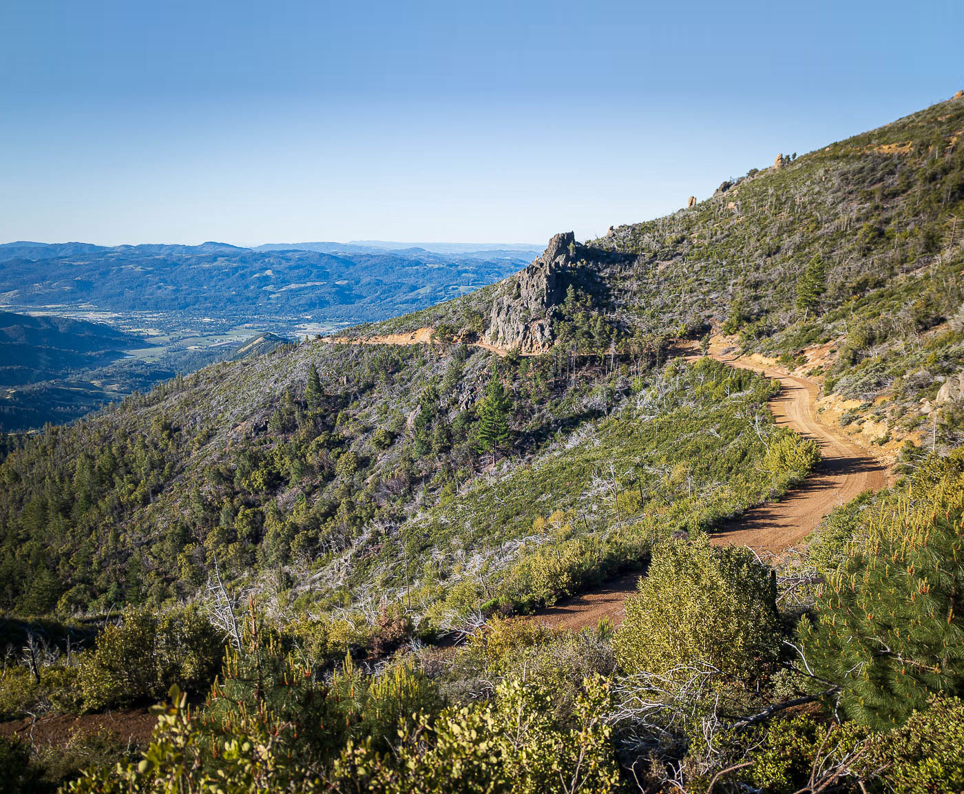
From the Palisades ridge you can see the entire valley — every winery you'll visit, laid out end to end.
Serious Climbs
Real elevation, real exposure, and no water on the trail. These are dawn starts in anything warmer than spring — and if you'd rather earn the views with an electric motor doing the work, our e-bike tours along the Vine Trail cover the same landscape at a gentler grade.
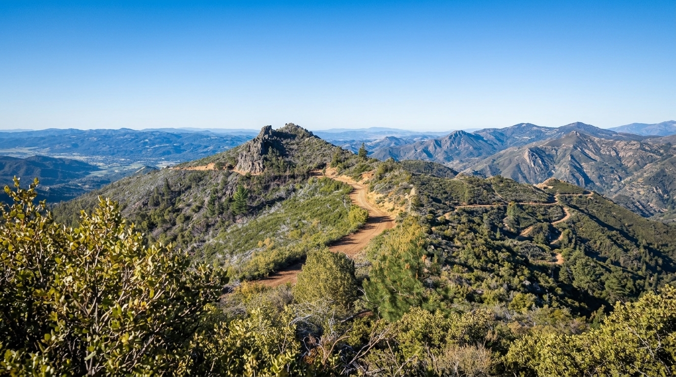
Mt. St. Helena — Robert Louis Stevenson State Park
North of Calistoga
Napa County's high point at 4,343 feet, roughly 2,000 feet of gain on a mostly exposed fire road with views to the Sierra on the clearest winter days. Start at first light, carry all your water, and skip it entirely on hot afternoons. Trailhead parking is free.
Visit Site — parks.ca.gov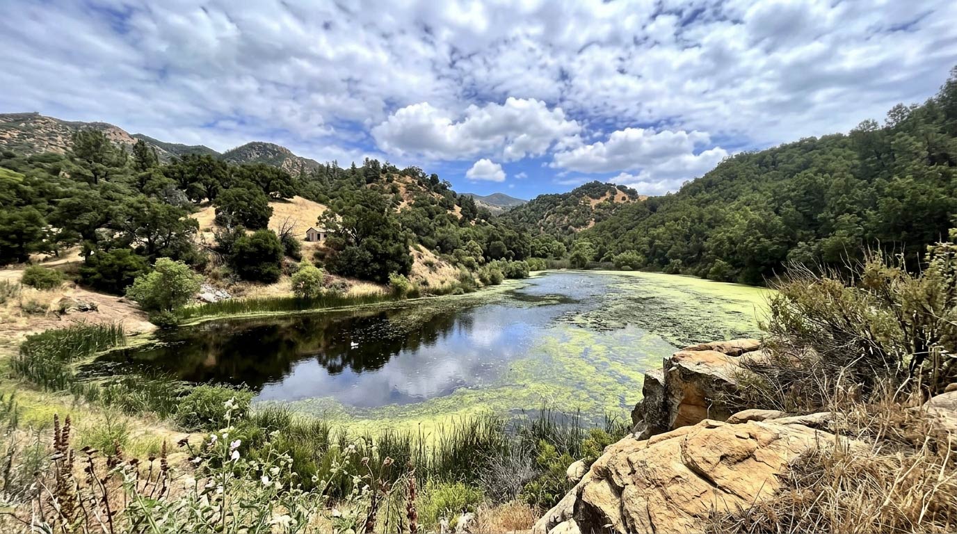
Skyline Wilderness Park — Lake Marie Loop
Southeast Napa
The serious hike closest to downtown Napa — under 10 minutes from the riverfront. The Lake Marie Road and Skyline Trail loop climbs through oak and chaparral to a small reservoir, with a modest per-vehicle entry fee and campsites on site.
Visit Site — skylinepark.org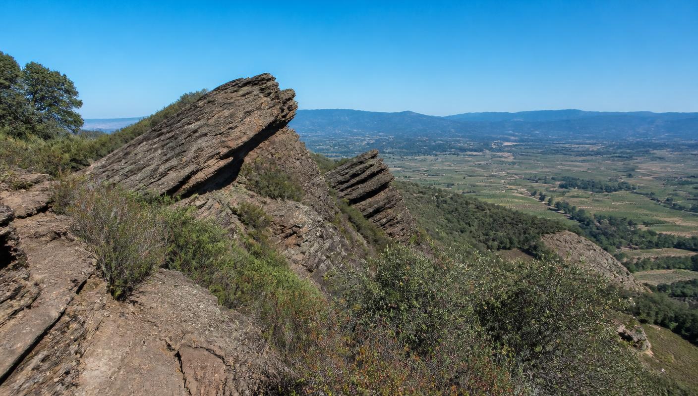
Table Rock & Palisades Trail
Calistoga
From the Mt. St. Helena trailhead, this side of the highway climbs east onto volcanic slabs with wide-open valley views. Continue on the Palisades Trail for a rugged traverse under the cliffs. Loose rock and full sun — proper shoes required, and this one gets brutally hot in summer.
Visit Site — parks.ca.govFishing & Lakes
Napa's water is genuinely underrated: a tidal river with striped bass and sturgeon running right through town, and a reservoir warmwater fishery 20 minutes up the Silverado Trail. A California fishing license is required from age 16, and regulations shift season to season.
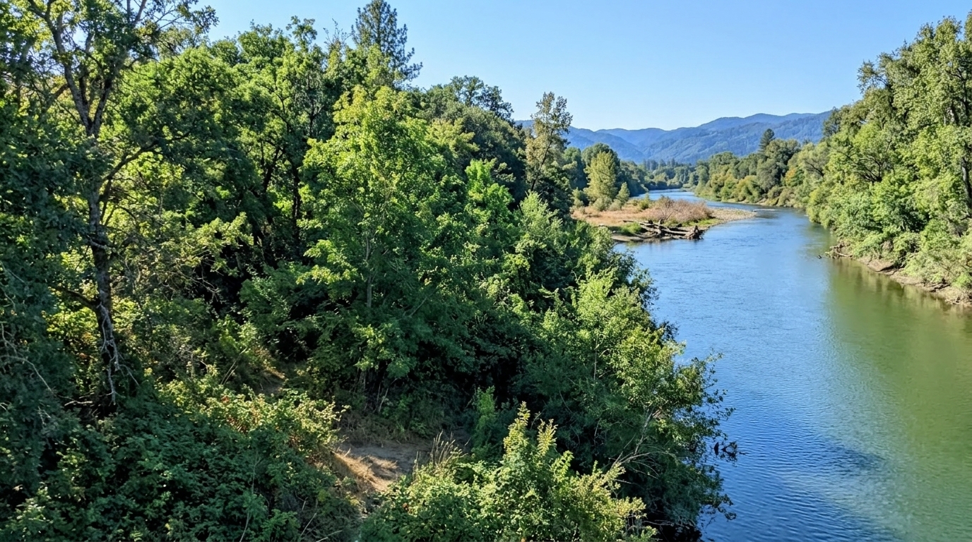
Napa River
City of Napa downstream to San Pablo Bay
A genuine tidal fishery: striped bass and sturgeon through the lower river, plus catfish and warmwater species upstream. Shore access runs along the same riverfront covered in our downtown Napa guide, with launches at Kennedy Park and Cuttings Wharf. A California license is required at 16 and older.
Visit Site — wildlife.ca.gov (CDFW)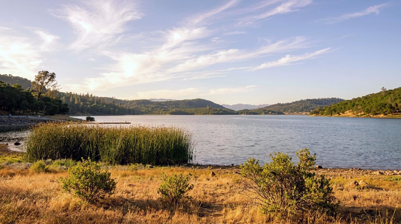
Lake Hennessey
Silverado Trail east of Rutherford
The City of Napa's reservoir and the county's most accessible warmwater fishery — largemouth bass, catfish, and crappie from the bank or a small motorboat. There's a day-use access fee, and the rules are unusual: no kayaks or non-motorized craft, and nothing over 10 horsepower.
Visit Site — cityofnapa.orgPractical Tips
Parking & fees
California state parks charge a day-use parking fee — roughly $10 per car at Bothe-Napa Valley and Bale Grist Mill. The Mt. St. Helena trailhead lot at Robert Louis Stevenson is free but fills by mid-morning on weekends. Skyline Wilderness Park and Lake Hennessey each charge a modest per-vehicle or access fee. City parks and Las Posadas are free.
Trail closures happen
Napa County trails close periodically for wildfire risk, post-fire damage repair, and storm cleanup — sometimes for a full season. Check the park's own page or the Napa County Regional Park & Open Space District trail-status list the morning you go rather than trusting a trail app.
Best season
March through May is the window: wildflowers, green hills, full creeks, and 65–75°F afternoons. Exposed climbs like Mt. St. Helena and Table Rock are genuinely unpleasant from July through September, when the valley floor regularly hits the 90s. In summer, hike the shaded redwood and forest trails or start at sunrise.
Wildlife awareness
Mountain lions and rattlesnakes both live here. Encounters are uncommon and the standard precautions cover it: stay on trail, keep dogs leashed where they're allowed, watch where you put your hands and feet on rocky sections, hike with company on remote trails, and don't run at dusk on ridge trails. Ticks are worth a check after spring grass walks.
Napa Valley Outdoors: Common Questions
Where can you hike in Napa Valley for free?
Alston Park, Westwood Hills Park, and the Napa River Trail are all free city-of-Napa parks with no entry or parking fee. Las Posadas State Forest on Howell Mountain is also free. The state parks — Bothe-Napa Valley, Bale Grist Mill, and Robert Louis Stevenson — charge a day-use parking fee of roughly $10 per car, though Robert Louis Stevenson's Mt. St. Helena trailhead lot is free.
Does Napa Valley have waterfalls?
Yes, but they are seasonal. Linda Falls, on the Land Trust of Napa County's Linda Falls Preserve above Angwin, is the valley's best-known waterfall — a short, shaded walk to a multi-tiered cascade on Conn Creek. The seasonal falls along the Bale Grist Mill and Bothe-Napa creek trails run in the same window. All of them are strongest from December through April and are often reduced to a trickle or completely dry by August.
Are Napa Valley hiking trails dog-friendly?
City parks are the dog-friendly option: Alston Park has one of the Bay Area's largest off-leash areas, and Westwood Hills Park and the Napa River Trail allow leashed dogs. California state parks — Bothe-Napa Valley, Bale Grist Mill, and Robert Louis Stevenson — do not allow dogs on trails, only in parking lots and campgrounds. Skyline Wilderness Park allows leashed dogs on most trails.
What is the hardest hike in Napa Valley?
Mt. St. Helena in Robert Louis Stevenson State Park is the big one — about 10.6 miles round trip with roughly 2,000 feet of gain to the 4,343-foot summit, almost entirely exposed. The Palisades Trail out to Table Rock is technically rougher underfoot, and the Lake Marie loop at Skyline Wilderness Park is the toughest workout close to town.
Can you fish in the Napa River?
Yes. The Napa River from the city of Napa downstream to San Pablo Bay is a tidal fishery for striped bass and sturgeon, with warmwater species like catfish and sunfish upstream. A California fishing license is required for anyone 16 or older, and regulations — including sturgeon rules — change season to season, so check the current CDFW guide before you go.
Do you need a permit to visit Lake Hennessey?
Lake Hennessey is a City of Napa reservoir with a day-use access fee at the boat-launch and shoreline area. It's a warmwater fishery (bass, catfish, crappie), and boating rules are strict: no kayaks or non-motorized craft, and no motors above 10 horsepower. Bank fishing and the surrounding trails are the easiest way to enjoy it.
Related Guides
Continue Exploring Napa Valley
Dive deeper into planning with these curated guides.
How to do a Napa Valley day trip from San Francisco
Driving times, ferry + train options, and guided day tours from $189
How to visit Napa Valley on a budget
Tasting fees under $30, cheap hotels, and free winery visits
Napa Valley events and wine festivals by month
Harvest events, seasonal festivals, and annual celebrations
Napa Valley travel tips for first-time visitors
When to go, how many wineries per day, and getting around
Napa Valley first-timer's guide
What to expect, which town to base in, and common mistakes to avoid
Plan a Napa Valley trip: flights, cars and hotels
Step-by-step trip builder with airport, rental car and lodging picks